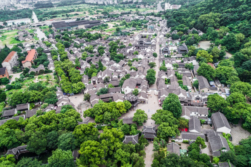
– Showcase properties from unique aerial perspectives to attract buyers and stand out in the market. – Highlight key features and surrounding areas to provide a comprehensive view of the property.
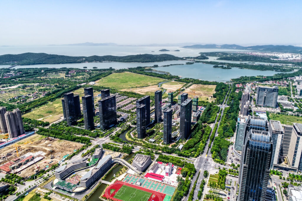
Commercial Real Estate
– Capture striking aerial imagery of commercial properties and developments to attract potential investors and tenants. – Showcase proximity to amenities, transportation hubs, and other selling points.
Inspections
– Conduct detailed inspections of houses, infrastructure, and commercial buildings using drones equipped with high-resolution cameras and sensors. – Identify potential issues and areas of concern with precision and efficiency.
Search and Rescue Missions
– Assist search and rescue operations with aerial reconnaissance and mapping capabilities. – Provide real-time information and situational awareness to aid in search efforts.
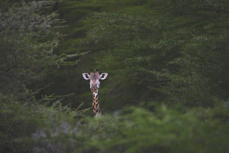
Wildlife and Environmental Conservation
– Monitor wildlife populations and track habitat changes using aerial photography and videography. – Support environmental conservation efforts with valuable data and insights from the sky.
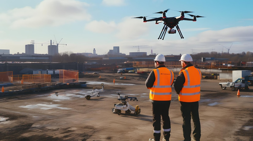
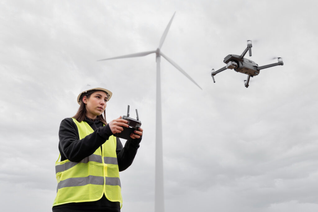
construction and Emergency Services
– Generate real-time maps and spatial data to support construction management, event planning, and emergency response operations. – Monitor progress, manage crowds, and enhance situational awareness with up-to-the-minute spatial information.
Weddings and Events
– Add a unique and memorable element to weddings and events with stunning aerial photography and videography. – Capture breathtaking moments from above to create lasting memories for you and your guests.